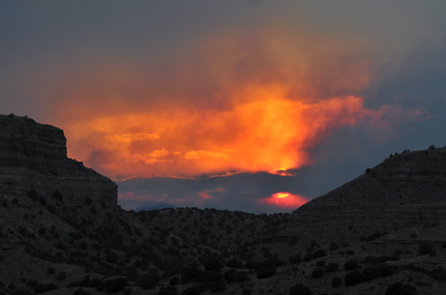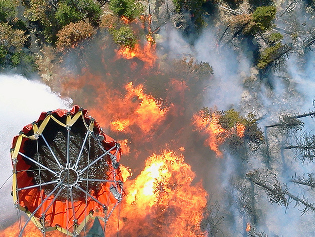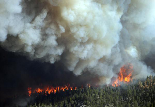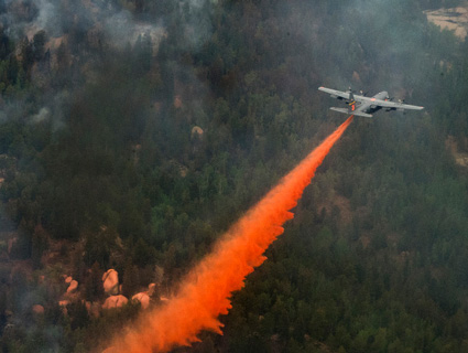
A plane flies over Waldo Canyon wildfire. <a href="http://www.flickr.com/photos/thenationalguard/7467933358/sizes/l/in/photostream/">The National Guard</a>/Flickr
This story was originally published online by OnEarth magazine. Read more about wildfires and climate at OnEarth.org.
When the Waldo Canyon fire ignited in the mountains near Colorado Springs this June, Cindy and Mark Maluschka started packing. The evacuation zone mapped out by city officials ended two streets away from them, but the Maluschkas have seen fires spread faster than expected before. The 2002 Hayman Fire—until this summer, the most destructive wildfire in Colorado history—had come within six miles of their old home in the forested hills of Woodland Park. But when they moved to suburban Colorado Springs, they thought they would be safe. In their new neighborhood, Cindy Maluschka says, “there were more streets, more services, and more distance from the forest itself. We certainly felt safer from a wildland fire.”
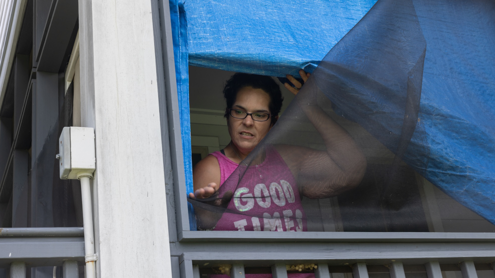
Even so, as June’s Waldo Canyon fire spread, she and her husband gathered documents, family photos, and the tooth their daughter, Amber, had recently lost. They put a clothesbasket in the little girl’s room. “Pack this with all your most important things,” her mother told her, limiting the number of stuffed animals the six-year-old could bring to her grandfather’s house outside the evacuation zone. When the fire blew up three days later, Cindy and Mark were back at the house, trying to get some work done, when officials suddenly issued a mandatory evacuation order. Cindy opened their garage door and could see the mountain on fire. “I felt the heat,” she says. “I felt the pressure. It was kind of like tornado pressure.” They had 10 minutes to pack the last things they would save—computers and clothes—and get out.
Outside the house, Mark shouted to his wife that he needed to go back in to rescue the family’s goldfish. “I am not going to do this for goldfish,” she replied as she drove away, leaving him to make his way out with the couple’s other car. Racing off, she was stunned to see many of her neighbors standing in their driveways, gazing at the flames. “You have got to leave!” she screamed at one of them. “Quit taking pictures!” When her husband caught up with her at her father’s house outside the evacuation zone, he had the goldfish—and a photo of a wall of flame coming down their street. “I knew, absolutely, that our house was going to be gone,” she says. “I didn’t see how it could not be.”
She was right. The Maluschkas’ home, reduced to a pile of rubble, was one the 346 houses in and around Colorado Springs that burned in the Waldo Canyon fire, which also killed two people. The most expensive fire in Colorado history, insurance claims for losses are expected to exceed $352 million. Fighting the fire has cost about $17 million.
The Maluschkas and their neighbors lived in an area that foresters and firefighters call the “wildland urban interface,” or WUI. Pronounced “wooee,” the term describes land where development abuts forests that has a high potential to burn in wildfires. In the late 1990s, the Colorado State Forest Service put a finer point on the WUI concept and created a “Red Zone” map, which identifies where the state’s most unhealthy and flammable forests threaten dense developments or other resources.
It also shows some of the most popular places to build homes in Colorado. It’s no surprise that people like to live near forests and mountains— but that’s precisely where wildfires occur. And because those new residents naturally want to keep their homes safe, they demand that small, otherwise beneficial fires be put out if those blazes threaten their property, which causes forests to become unnaturally thick with unhealthy trees just waiting for a spark. And sparks are exactly what humans often provide. It’s a vicious cycle: more building in the WUI, more property at risk, more firefighting, more fire-prone forests (and in the age of climate change, more hot, dry weather). All of which helps explain why, across the West over the last 20 years, fighting fires has gone from taking up 14 percent of the US Forest Service’s budget to almost half of it.
Though it’s called the Red Zone, from 3,000 feet above the western edge of Colorado Springs, most of the color appears to have been cooked out of it. With me as his passenger, pilot Bruce Gordon, the founder of Aspen-based EcoFlight, banks his plane sharply over it. The deep green forests on the northeast flank of Pikes Peak give way to slopes burned clean of vegetation. I look down on thousands of blackened pine and fir trees that rise like nails from soil the color of old iron. Soon we’re flying over some of the houses that were destroyed. Their gray, rectangular foundations frame piles of charred debris that look, from the air, like Jackson Pollack paintings lined up on the suburban streets winding through the charred landscape.
Gordon has been doing conservation flying for more than 25 years, giving policymakers, environmentalists, and journalists the big-picture view of the world below. (See OnEarth‘s 2011 profile of Gordon, “The Plane Truth.”) “I was flabbergasted, frankly,” Gordon says, referring to what he saw when he first flew over the post-Waldo Canyon Fire landscape. “I’ve never seen homes reduced to that rubble. I’ve seen tons of fires, but most of them are in wilderness areas. Most of them are healthy burns.”
Earlier this year I worked with Burt Hubbard, an investigative reporter with the nonprofit journalism outfit I-News, who overlaid census data with Colorado’s Red Zone map. My research with Hubbard showed a flood of new homeowners moving into the state’s most flammable forests. Today, more than 1 in 5 Coloradans—about 1 million people—live within the state’s Red Zones. Over the past 20 years, the number of homes in these high-risk areas has risen from about 370,000 to 560,000, and the population has risen by 350,000—from about 750,000 people to 1.1 million. In some Colorado counties, 90 percent of the residents are living in the Red Zone.
And it’s not just Colorado. In 2002, a study by the US Fire Administration estimated that in the West, 38 percent of new home construction was in or adjacent to flammable landscapes. During recent decades, homebuilding around combustible wildlands throughout the United States has increased at three times the rate that it has in less flammable parts of the country. “In the last half century, about one-fifth of the American people have moved into flame zones, insufficiently aware of the perils awaiting them and inadvertently testing the limits of nature’s tolerance,” Roger Kennedy, former director of the National Park Service, noted in his 2006 book, Wildfire and Americans: How to Save Lives, Property and Your Tax Dollars.
As the population of Colorado’s forests has boomed, so too has the incidence of wildfires. State records show that while 217,960 acres burned on state and private lands in Colorado between 1990 and 1999, a total of 889,343 acres burned from 2000 through 2009—representing a fourfold increase. And again, what’s happening in Colorado proves to be a model for what’s happening in the region. Between 1986 and 2003, Western forests also saw a nearly fourfold increase in the number of wildfires, which burned six times the amount of land—and lasted five times as long—as they did during the previous 16 years.
The warming, drying climate has extended the fire season all over the West; every week seems to bring with it news of another spate. In just the last few days, at least 18 separate wildfires have destroyed dozens of homes throughout a 100-square-mile area in Oklahoma, where the governor has declared a state of emergency, and where continued high temperatures and drought conditions mean there’s no relief in sight. All over the region, excess fire suppression and resistance to prescribed burning and thinning has left some forests with dangerously heavy fuel loads. But foresters and firefighters agree that, at the heart of the wildfire problem in the West, is the number of people who are moving into, or right next to, the forest. Human ignitions are now the primary cause of fires in landscapes that once ignited only from lighting strikes. This year, wildfires in the WUI have been started by firearms, fireworks, campfires, arcing power lines, sparks from vehicles, and arson.
“Everybody knows that firefighting costs are going up, and everybody knows the WUI has a lot to do with it,” says Ray Rasker, director of Headwaters Economics, an independent research group in Bozeman, Montana. According to the group’s data, the US government is spending as much as $3 billion a year to fight wildfires—twice what was being spent 10 years ago. “About a third of those costs are for defending homes,” Rasker adds.
Nevertheless, in Colorado, people are continuing to move into the Red Zone. Much of the recent and projected development is in forests that are even more prone to burning than those neighborhoods on the outskirts of Colorado Springs that burned during the Waldo Canyon fire.
Tania Schoennagel, a University of Colorado geography professor and scientist with the Institute of Arctic and Alpine Research, recently studied how building trends are affecting wildfire risk. Earlier developments in Colorado’s Red Zones were generally built at lower elevations, where the trees were more widely spaced and the terrain less steep. Forests there—at least before fire suppression allowed them to grow unnaturally thick —tended to burn along the ground with low intensity. If those forests could be restored to their historic density and health, her study concluded, homeowners there would likely confront less-intense fires.
But new developments in the Red Zones are increasingly at elevations above 8,000 feet, in dense forests that are often dominated by lodgepole pine, which tends to burn heavily in “stand-reducing” crown fires. The steep slopes and chimney-like canyons of the high country can magnify the intensity of these fires. Topographic maps show that all of the homes destroyed in last March’s Lower North Fork fire, which destroyed 23 homes and killed three residents, were at elevations between 8,000 and 8,500 feet.
“As you move up into those dense lodgepole pine forests,” Schoennagel says, “[you get] high-severity fires that happen very infrequently, and burn through the treetops. They’re very difficult to fight.”
Tom and Sharon Scanlan are among the Colorado residents who live in one of those higher-elevation forests. When they began building their home in Jefferson County six years ago—in the Kuehster Road community that would eventually burn in the March 26 Lower North Fork fire—they could see mountainsides that still bore the scars of the 2002 Hayman wildfire that had threatened the Maluschkas’ home.
“We looked at it every single day,” Tom Scanlan says. The image of charred mountainsides helped inspire him to build his own mountain home out of inflammable insulated concrete, bury their propane tank far from the house, and cut scores of trees to create defensible spaces around the house and barn.
“We often had guys come up and talk to us from the state tree forestry,” he says. “We understood the risks, and we did more than was recommended. I was cutting down trees every year.” But when the Lower North Fork fire roared into their neighborhood, it still destroyed their home. “There was no mitigation that could possibly be done to stop what happened here,” he says.
Three of the Scanlans’s neighbors perished in the blaze, which also destroyed 23 homes. There’s no better example of the costs that accrue from building in the Red Zone—and how those costs are only going to get worse as wildfires get more frequent.
