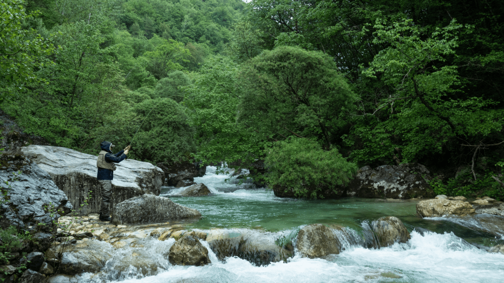
No place in America is better known for marijuana growing than Northern California’s Humboldt County. The same forgiving climate and rugged terrain that gave rise to ancient redwoods (and decades of frenzied clear cutting) has brought about a “green rush”—of pot growers looking to tend rows of Afghani Goo or Sour Diesel strains in remote canyons or ridge-lines far beyond the reach of the feds.
Erstwhile loggers can earn much more than they ever did splitting trees. By one recent estimate, cannabis accounts for more than a quarter of Humboldt County’s $1.6 billion economy, a share that’s likely to grow with the legalization of marijuana for recreational use in nearby Washington state. But the pot economy’s need for land and water has sparked a whole new wave of environmental problems.
In this video, made with hi-res satellite images from Google Earth, Anthony Silvaggio, an environmental sociologist with Humboldt State University’s new Institute for Interdisciplinary Marijuana Research, exposes the extent of the devastation wrought on private forest land by industrial-scale grows:


