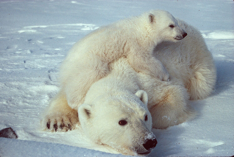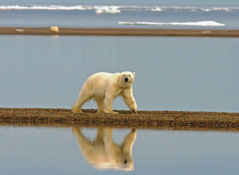
Photo by Susanne Miller, courtesy the U.S. Fish and Wildlife Service
So here’s an interesting value test in the modern age. What’s of greater importance—keeping secret our secret observations of other Arctic nations, or making available our secret observations in order to transform our understanding of the rapid loss of Arctic sea ice?
The National Research Council asks that hundreds of images derived from classified data be immediately released and disseminated to the scientific community. The images provide otherwise unavailable data of melting and freezing processes associated with climate change.
As things stand now, our ability to project future Arctic ice cover is severely hampered by a dearth of data. Readily available satellite images generally suck because the data are low-res. Data collected from drifting manned stations are unreliable since ice stations fall apart before data collection is complete. Data collected from aircraft flights are low-yield and expensive.
But the classified images that already exist could illuminate a bunch of important stuff:
- the relationship of snow-to-ice topography
- the initiation and development of meltwater ponds in summer
- the relationship of stress and strain as reflected in the pattern of cracks and other ice features
Moreover, the National Research Council says the 2007-2008 images would greatly enhance intensive ground-based observations carried out during the Fourth International Polar Year. The 2007 summer sea-ice minimum was a record low—more than 20 percent below 2005’s previous low and nearly 40 percent below the 1979-2000 average minimum. The release of the high-res imagery would enable a lot more investigation into those banner bad years.
In the 21st century, climate security is national security.
