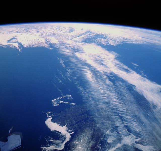
Northern hemisphere jet stream over Canada: NASA
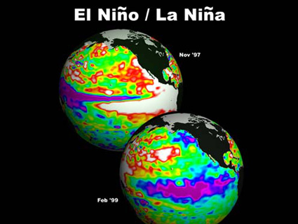
The big weather shift that’s dumped record snow on Seattle, record floods on Oregon, busted open the storm door in California, and is now barreling across the country with wintery weather was jump-started by a weakening in the positive phase of the Arctic Oscillation (AO) that I wrote about a couple of weeks ago. A near-record-strong positive AO for December through mid-January, combined with a La Niña, kept the jet stream jammed up over Canada and Alaska. The AO’s now at about normal… though the polar jet is entrained far enough north that no major snow storms are expected to hit the US for the rest of January—except for the beleaguered Pacific Northwest. Meanwhile this winter continues the alarming warming trend of the 21st century. Jeff Masters at WunderBlog writes: “It’s likely the lack of storms will make January 2012 one of the top five driest January months on record. This month is also likely to be a top-ten warmest January, but won’t be able to challenge January of 2006 for the top spot. That January was an incredible 8.5°F above average in the contiguous US, and so far, we are running about 4-5°F above average.”
