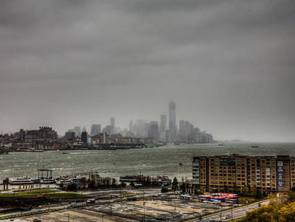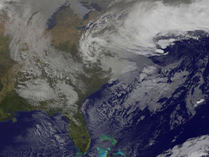
Satellite photo from NASA's GOES-E of the Nor'easter hitting the Northeast. <a href="http://goes.gsfc.nasa.gov/">NOAA</a>
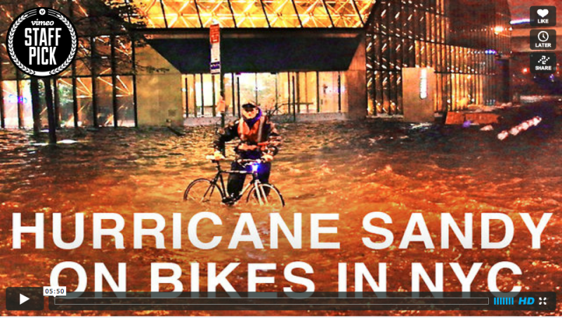
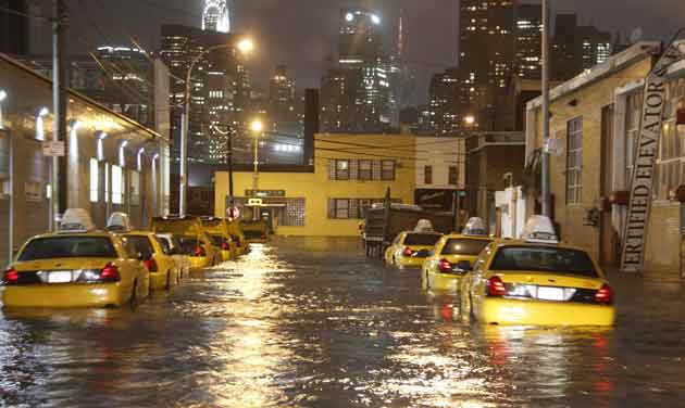
Parts of the Northeast and Mid-Atlantic battered by Hurricane Sandy last week are now getting clobbered by a Nor’easter, unofficially dubbed Athena. The National Weather Service predicts that the storm will last until Thursday and could bring 6-12 inches of snow to southeastern New York and New England, as well as 3 inches to Philadelphia. The storm has reportedly already caused 22,000 new power outages in the Northeast and Mid-Atlantic, and in western Connecticut the Capital Weather Gang is reporting that as much as 4.5 inches of snow has already fallen.
Wind gusts up to 60 mph are expected, and coastal flood warnings are in effect for the tri-state area. Airlines have cancelled more than 1,500 flights, mostly around NYC, and Bloomberg encouraged residents in low-lying areas to evacuate. New Jersey has ordered mandatory evacuations of some communities on the shore. Meanwhile, the impact of last week’s hurricane still remains—approximately 270,000 homes and businesses in New York remain without power, as well as about 370,000 in New Jersey.
Folks are once again taking to Twitter to document the storm, as the snow begins to fall:
Thanks for sharing this.Conditions are no doubt getting worse @joeyboots: “Wet freezing sleet falling NYC.”#NorEaster twitter.com/JoeyBoots/stat…
— Jeff Ranieri (@JeffRanieri) November 7, 2012
Definitely an inch or two of snow in Lower Manhattan. Flakes are huge. yfrog.com/odt4tjuj #noreaster
— Patrick deHahn (@patrickdehahn) November 7, 2012

Some of the areas hit the hardest by Sandy, are feeling the brunt of this storm as well:
#Snow amidst #piles in #Rockaways #Queens #ny #nyc #noreaster #pix11news instagr.am/p/Rvd8iwuRTk/
— Mario Diaz (@MarioPIX11) November 7, 2012

#Noreaster #snow starting to stick on #NJ #Hurricane #Sandy victims stuck without power and h @ Lake Riviera instagr.am/p/RvhEGQQLaW/
— Alexander Higgins (@kr3at) November 7, 2012

#MotherNature is pissed the Northeast voted for Obama #Noreaster #WinterStormAthena #Snowing #SuperstormSandy
— Blackout Barbie (@tuna6788) November 7, 2012
