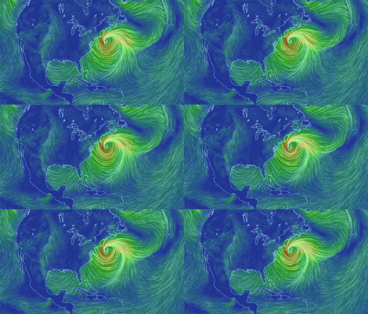
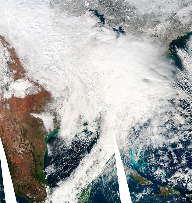
There is a “hurricane strength” storm happening off the East Coast right now. Wind speeds have reportedly reached 80 mph in New England and 119 mph in the Gulf of Maine. Judging by its wind field—the three-dimensional pattern of winds—the storm could be as much as four times as powerful as Superstorm Sandy. Fortunately, this week’s storm only grazed the East Coast (though Cape Cod and Nantucket did see damage).
Using Cameron Beccario’s interactive weather visualization map, you can get a sense of what wind like that actually looks like.

According to the Weather Channel, it looks like the storm is going to calm and slow tonight. So, everybody for the most part lucked out.


